
Shree Ram Mayur Vihar Mandir Metro Station
Pink Line · East Delhi, Delhi
About Shree Ram Mayur Vihar Mandir metro station
DMRC notes its earlier name, Mayur Vihar Pocket-1; it was earlier known as Mayur Vihar Pocket I.
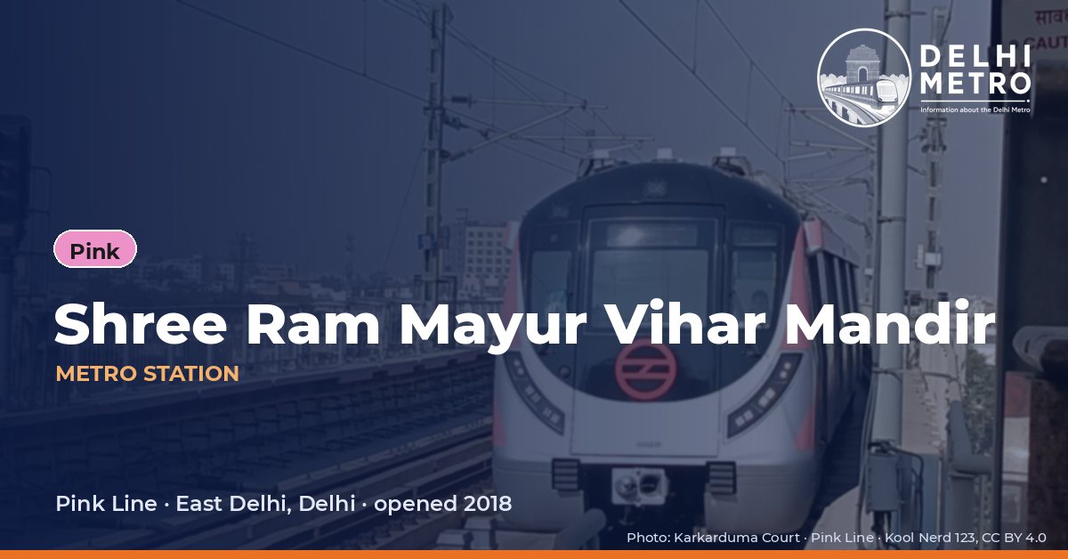
Until it was renamed, this Pink Line stop was Mayur Vihar Pocket-1, a name DMRC still records as its former one. It opened on 31 December 2018 as part of the ring, an elevated station with side platforms between Mayur Vihar-I and Trilokpuri-Sanjay Lake, in East Delhi.
DMRC’s station description is limited to the fact that it is elevated, but its two gates show how the station is laid out over the neighbourhood: Gate 1 is signed for Mayur Vihar Pockets 1 and 2, and Gate 2 for Pockets 3 and 4. Trains in one direction run towards Majlis Park and Yamuna Vihar, and in the other towards Maujpur-Babarpur, where the spur to Shiv Vihar begins.
First and last metro at Shree Ram Mayur Vihar Mandir
Departure times from this station on a weekday, as DMRC’s journey planner gives them (checked on Tuesday 20 October 2026; the planner takes no date). DMRC does not publish separate Saturday, Sunday or holiday times for each station, and on special days it announces changes in advance. A last train after midnight belongs to the previous evening’s service. “Not published” means DMRC’s own answer was inconsistent (arrival before departure), so we leave it out.
How often trains run at Shree Ram Mayur Vihar Mandir
Average interval between trains published by DMRC for each section (as on 31.08.2026). Peak hours are 08:00–12:00 and 17:00–21:00, the hours outside DMRC’s off-peak definition. Rapid Metro Gurugram figures come from its own page (peak 08:00–11:00 and 16:00–20:00 on weekdays; Sunday is one flat interval).
Next stations from Shree Ram Mayur Vihar Mandir
| Line | Next station | Running time |
|---|---|---|
| Pink | Trilokpuri-Sanjay Lake | 6 min |
| Pink | Mayur Vihar-I | 1.6 min |
Running time to the adjoining station from DMRC’s journey planner, including the stop. On the Rapid Metro the Phase 2 – Phase 3 loop runs one way only (Phase 2 → Belvedere Towers → Cyber City → Moulsari Avenue → Phase 3 → Phase 2).
Interchanges and connections
Shree Ram Mayur Vihar Mandir is served by the Pink Line only, and DMRC lists no railway station, bus terminal or airport among the places near it.
Station facilities
DMRC labels: Divyang Friendly Station and Lift/Escalator Available.
As listed on the DMRC station page; a facility missing here may still exist.
Gates and platforms at Shree Ram Mayur Vihar Mandir
| Gate | Leads to | Divyang friendly |
|---|---|---|
| Gate No. 2 | Mayur Vihar Pocket 3&4 | Yes |
| Gate No. 1 | Mayur Vihar Pocket 1&2 | Yes |
Platforms
| Platform | Trains towards |
|---|---|
| Platform No. 2 | Majlis Park or Yamuna Vihar |
| Platform No. 1 | Shiv Vihar or Maujpur-Babarpur |
Gates, their surroundings and platforms as DMRC lists them on the station page.
Parking at Shree Ram Mayur Vihar Mandir
| Parking | Capacity |
|---|---|
| Not Available | — |
Parking sites and capacities listed by DMRC (some are run by other agencies); rates are not published on the station page.
What is near Shree Ram Mayur Vihar Mandir metro station
The station serves the Mayur Vihar pockets, and the temples around them. DMRC lists Shri Subha Siddhi Vinayaka Temple and Uttara Guruvayurappan Temple each 0.3 km away and Gurudwara Singh Sabha Trilok Puri at 0.35 km, with Police Station Mayur Vihar at 0.7 km. In OpenStreetMap the nearest places are Poker Park, about 70 m away, and Jeevan Anmol Hospital and the ESIC dispensary, both about 100 m; CSC Pocket 3 market is about 310 m and Central Park Pocket 4 about 330 m.
Places DMRC lists near the station
| Place | Type | Distance | On foot |
|---|---|---|---|
| E.O.D. (Every Other Day) Park | Tourist Place | 1 km | 5 min |
| Shri Subha Siddhi Vinayaka Temple | Tourist Place | 0.3 km | — |
| Gurudwara Singh Sabha Trilok Puri | Tourist Place | 0.35 km | 5 min |
| E.O.D park | Locality | 1.2 km | 17 min |
| Gurudwara Singh Sabha Trilok Puri | Religious Place | 0.35 km | 5 min |
| Uttara Guruvayurappan Temple | Religious Place | 0.3 km | 4 min |
Within 400 metres (OpenStreetMap)
| Place | Straight-line distance | On foot (estimate) |
|---|---|---|
| Poker Park | 70 m | 1 min |
| Jeevan Anmol Hospital | 100 m | 2 min |
| ESIC Dispensary-cum-Diagnostic Center | 100 m | 2 min |
| Lane 1/2 Park | 140 m | 2 min |
| DDA Park, Mayur Vihar | 230 m | 4 min |
| Mayur Medicare Center | 310 m | 5 min |
| CSC Pocket 3 | 310 m | 5 min |
| Central Park Pocket 4 | 330 m | 5 min |
Named places from OpenStreetMap. The walking time is an estimate (straight-line distance × 1.3).
Frequently asked questions
It was formerly Mayur Vihar Pocket-1, which DMRC lists as the station’s former name. The old name may still turn up in older maps and route searches, but the station on the Pink Line ring is now Shree Ram Mayur Vihar Mandir.
DMRC signs Gate 1 for Mayur Vihar Pocket 1 and 2, and Gate 2 for Mayur Vihar Pocket 3 and 4. Choosing the right gate saves crossing the road on the way out.
Stations, first and last trains, running times, frequencies and fares on this page come from the information the Delhi Metro Rail Corporation (DMRC) publishes on delhimetrorail.com (station pages, journey planner, fare and train-frequency pages), checked on 20 October 2026. DMRC station code: MVPO. metrodelhi.org is an independent guide, not run by DMRC or affiliated with it. Check delhimetrorail.com or the DMRC helpline before you travel.