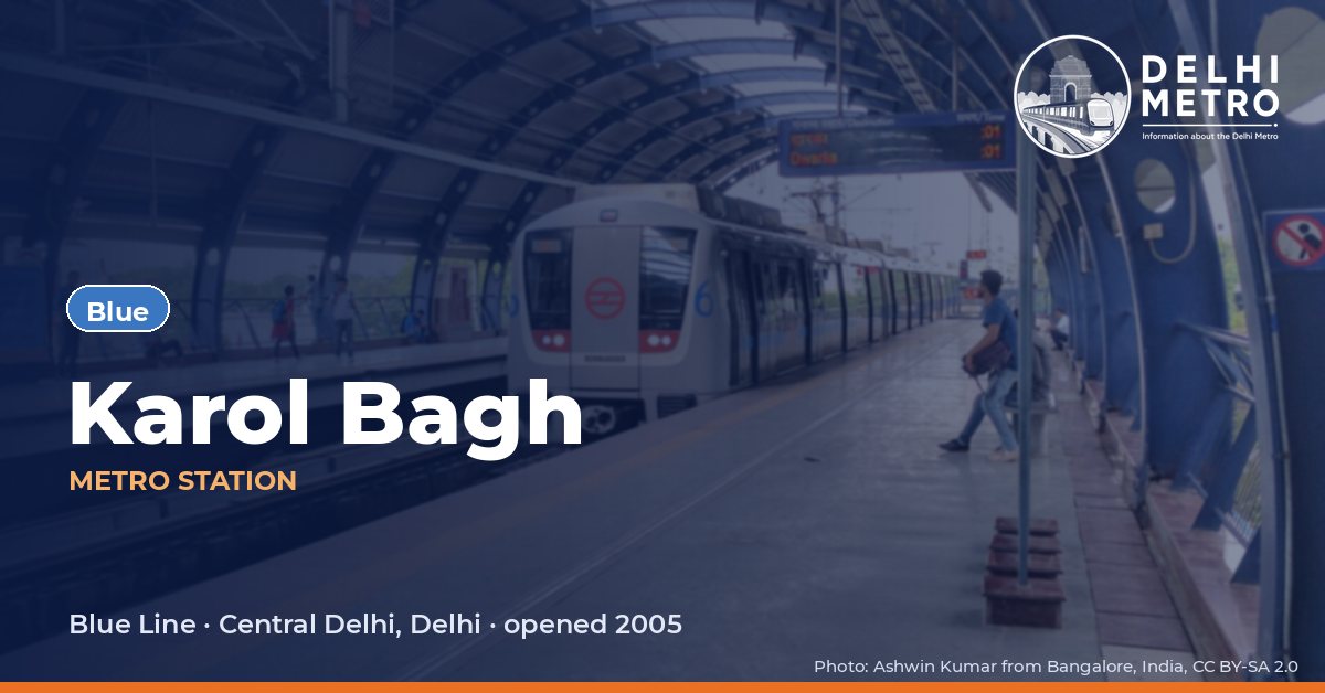
Karol Bagh Metro Station
Blue Line · Central Delhi, Delhi
About Karol Bagh metro station
On the Blue Line since 30 December 2005, Karol Bagh is an elevated station on the main line between Jhandewalan and Rajendra Place, with side platforms. DMRC’s page notes that it is also known as Karol Bagh Manyavar.
Its layout is defined by Pusa Road. The station has eight gates, and six of them, Gates 2 to 6 and Gate 8, are listed by DMRC simply as Pusa Road; the other two lead to Ajmal Khan Road (Gate 1) and Block C of Rajendra Nagar (Gate 7). Platform 1 serves trains towards Noida Electronic City and Vaishali, platform 2 those towards Dwarka Sector 21.
First and last metro at Karol Bagh
Departure times from this station on a weekday, as DMRC’s journey planner gives them (checked on Tuesday 20 October 2026; the planner takes no date). DMRC does not publish separate Saturday, Sunday or holiday times for each station, and on special days it announces changes in advance. A last train after midnight belongs to the previous evening’s service. “Not published” means DMRC’s own answer was inconsistent (arrival before departure), so we leave it out.
How often trains run at Karol Bagh
| Section | Weekday peak | Weekday off-peak | Saturday peak | Sunday |
|---|---|---|---|---|
| Blue Dwarka – Yamuna Bank | 2 min 51 s | 3 min 30 s | 3 min 15 s | 4 min 30 s |
Average interval between trains published by DMRC for each section (as on 31.08.2026). Peak hours are 08:00–12:00 and 17:00–21:00, the hours outside DMRC’s off-peak definition. Rapid Metro Gurugram figures come from its own page (peak 08:00–11:00 and 16:00–20:00 on weekdays; Sunday is one flat interval).
Next stations from Karol Bagh
| Line | Next station | Running time |
|---|---|---|
| Blue | Rajendra Place | 2 min |
| Blue | Jhandewalan | 2.2 min |
Running time to the adjoining station from DMRC’s journey planner, including the stop. On the Rapid Metro the Phase 2 – Phase 3 loop runs one way only (Phase 2 → Belvedere Towers → Cyber City → Moulsari Avenue → Phase 3 → Phase 2).
Interchanges and connections
- Buses: DTC Bus Stand (0.1 km, about 2 min on foot); DTC Bus Stand (0.1 km, about 2 min on foot), as listed by DMRC.
Station facilities
DMRC labels: Divyang Friendly Station and Lift/Escalator Available.
As listed on the DMRC station page; a facility missing here may still exist.
Gates and platforms at Karol Bagh
| Gate | Leads to | Divyang friendly |
|---|---|---|
| Gate No. 8 | Pusa Road | — |
| Gate No. 7 | Rajendra Nagar Block-C | — |
| Gate No. 6 | Pusa Road | — |
| Gate No. 5 | Pusa Road | — |
| Gate No. 4 | Pusa Road | — |
| Gate No. 3 | Pusa Road | Yes |
| Gate No. 2 | Pusa Road | — |
| Gate No. 1 | Ajmal Khan Road | Yes |
Platforms
| Platform | Trains towards |
|---|---|
| Platform No. 2 | Dwarka Sector 21 |
| Platform No. 1 | Noida Electronic City or Vaishali |
Gates, their surroundings and platforms as DMRC lists them on the station page.
Parking at Karol Bagh
| Parking | Capacity |
|---|---|
| Near from Gate No. 7 | 40 cars, 70 two-wheelers, 40 cycles |
Parking sites and capacities listed by DMRC (some are run by other agencies); rates are not published on the station page.
Fare from Karol Bagh
A single journey to Rajiv Chowk (Connaught Place) costs ₹21 from Monday to Saturday and ₹11 on Sundays and national holidays, according to DMRC’s journey planner (route on the Blue Line). The planner gives about 7 minutes for the journey. Fares go by distance in six slabs; a smart card or an NCMC card is cheaper than a QR ticket or token. See Metro fares for every slab and discount.
What is near Karol Bagh metro station
Shoppers bound for Karol Bagh Market, which DMRC puts 0.12 km away, share the station with patients and visitors heading to the hospitals on Pusa Road. DMRC lists Sir Ganga Ram Hospital at 0.45 km and Ajmal Khan Park at 0.12 km. OpenStreetMap shows Jeewan Hospital about 50 m away, Sir Ganga Ram Kolmet Hospital at about 130 m, Chetak Park at about 150 m, Mohan Eye Institute at about 230 m, City Hospital at about 270 m, Guru Nanak Dev Park at about 370 m and Janki Devi Memorial College at about 390 m.
Places DMRC lists near the station
| Place | Type | Distance | On foot |
|---|---|---|---|
| Karol Bagh Market | Market | 0.12 km | 3 min |
| Ajmal Khan Park | Tourist Place | 0.12 km | — |
Within 400 metres (OpenStreetMap)
| Place | Straight-line distance | On foot (estimate) |
|---|---|---|
| Janki Devi Memorial College | 390 m | 6 min |
| Jeewan Hospital | 50 m | 1 min |
| Sir Ganga Ram Kolmet Hospital | 130 m | 2 min |
| Chetak Park | 150 m | 2 min |
| Mohan Eye Institute | 230 m | 4 min |
| City Hospital | 270 m | 4 min |
| Guru Nanak Dev Park | 370 m | 6 min |
Named places from OpenStreetMap. The walking time is an estimate (straight-line distance × 1.3).
Frequently asked questions
DMRC’s station page states that Karol Bagh is also known as Karol Bagh Manyavar, but gives no further detail about the name. In DMRC’s station data and on this site the station is listed simply as Karol Bagh, the name of the area around it.
Only two. DMRC lists Gate 1 for Ajmal Khan Road and Gate 7 for Rajendra Nagar Block C; the other six gates (2 to 6 and 8) all open onto Pusa Road.